
THE GRANITE BELT
1,000 Miles of Red Gold
ABOUT THIS REGION
Where Red Gold Roads Begin
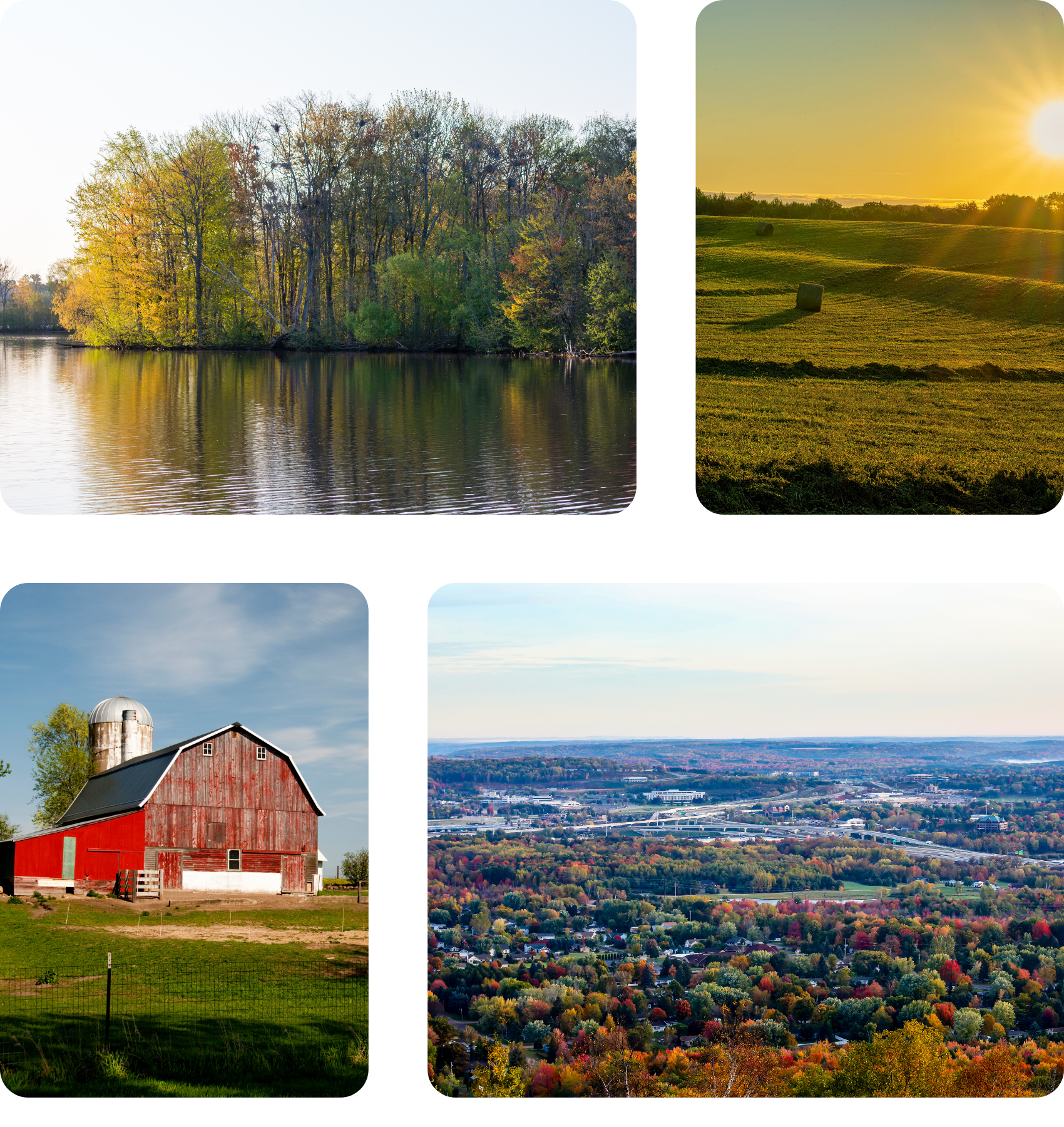
Stretching across Marathon, Lincoln, Langlade, and Shawano counties, the Granite Belt sits atop one of North America's largest deposits of red granite. For over a century, these ancient Precambrian rocks have been crushed into the legendary red gravel that defines Wisconsin cycling.
With over 1,000 miles of premium red granite roads winding through dairy farms and hardwood forests, the Granite Belt is the heart of Wisconsin's gravel biking experience. From beginner-friendly loops to epic 100+ mile challenges, there's an adventure for every rider.

45x90 geographic marker
Home to the geographic center of the Northern Hemisphere in Marathon County.
What Makes The Granite Belt Special

Premium Surface
Over 1,000 miles of premium red granite gravel

All Skill Levels
From easy 20-mile loops to challenging 100+ mile epics

Trail towns
Bike-friendly communities with local hospitality

Year-round riding
Three-season gravel, winter fat-biking options
Explore Trails
Trails in The Granite Belt
From family-friendly loops to epic adventures, discover routes across the region's 1,000+ miles of red granite roads.
Trails near Wausau



58.1 miles

Red granite

2,800 ft

Restrooms
Bike repair
Food
Trail details
Epic red granite adventure with mountain bike park, art museum, and wilderness exploration through the heart of Marathon County. This challenging route takes you through diverse terrain including working dairy farms, hardwood forests, and remote wildlife areas. The Ackley 60 is considered one of Wisconsin's premier gravel experiences.
Distance: 58.1 miles
Difficulty: Challenging to Difficult
Surface: Red granite gravel, some rugged two-track
Elevation Gain: 2,800 feet
Trailhead: Sylvan Hill Park, Wausau
Parking: Free at Sylvan Hill Park
Trail Highlights:
- Sylvan Hill Mountain Bike Park with pump track
- Leigh Yawkey Woodson Art Museum (world-renowned "Birds in Art")
- Ackley Wildlife Area (27,000 acres of wilderness)
- Historic ginseng farming region
- Red granite quarry views

83 Miles
Gravel-clay rail grade
Mostly flat
Restrooms
Water
Parking
Bike Repair
Trail details
Immerse yourself in a mostly wooded journey through Marathon, Shawano, and Brown counties. Thanks to its origin as an abandoned railroad grade, the trail offers a pancake-flat, gravel-clay surface—perfect for riders of all abilities. Rated “Easy,” it’s an inviting adventure for everyone. Along the way, you’ll find plenty of parking and frequently placed restrooms, ensuring a comfortable experience throughout your ride.
Kick off your journey at the western trailhead in Weston, located at 5201 Mesker St. Here, you’ll appreciate ample parking, convenient restrooms, fresh water, and a Fixation Station so you can start your adventure with peace of mind. As you ride southeast for about 9 miles, you’ll pass through the Ringle Mountain Bike Park, equipped with water, restrooms, and another Fixation Station in the parking lot. The path then leads you to the charming village of Hatley, where the Mountain-Bay State Trail merges with the renowned Ice Age Trail for a picturesque 2-mile stretch. Seven miles farther brings you to Eland, where the trail briefly shares its course with the Wiouwash State Trail for about 0.7 miles—just remember to stay left to continue east on the Mountain-Bay State Trail.
Along the way, you'll cross numerous bridges—keep an eye out, as they can be slippery when wet. About 12 miles from Eland, you’ll reach Bowler and one of the trail’s highlights: a stunning covered bridge over the North Branch Embarrass River. Pause here to admire the view and snap a dramatic photo from the riverbank below.
Continue your ride another 20 miles to the city of Shawano, where the trail briefly detours onto quiet roads before rejoining the dedicated path. Here, you’ll find a vibrant city atmosphere with local restaurants, shops, and even a former train depot—now a bicycle and outfitters shop. Don’t miss the chance to visit Twig’s Beverage for a refreshing soda and a fascinating museum tour.
Leaving Shawano behind, the trail meanders through peaceful woodlands and open farmland, guiding you to the Village of Pulaski. Here, Pulaski Community Park welcomes you with restrooms, parking, and nearby treats like ice cream and snacks to recharge your energy.
Twelve miles farther south, you’ll reach the trail’s southern end near Howard Memorial Park on Lake-view Drive. Just a short ride away, Howard offers a variety of restaurants and bars—perfect for a celebratory meal after your adventure. Simply head left on Glendale Avenue and right onto Riverview Drive to explore the local flavors.
Please note: Anyone age 16 or older who bikes, cross-country skis, horseback rides, or inline skates on the trail is required to have a state trail pass. Walking or hiking does not require a pass. You can conveniently purchase state trail passes online, at individual properties, DNR service centers, or from state trail pass vendors, making it easy to prepare for your journey.
Distance: 83 miles
Difficulty: Easy
Surface: Gravel-clay rail trail (former railroad grade)
Elevation Gain: Minimal
Trailhead: Weston
Parking: Available at multiple trailhead and parks along the route
Trail Highlights:
- Weston trailhead amenities (restrooms, water, Fixation Station)
- Ringle Mountain Bike Park access and services
- Ice Age Trail overlap near Hatley
- Covered bridge near Bowler over the Embarrass River
- Shawano dining, shops, and trail-friendly stops
- Pulaski Community Park rest area and nearby treat
- Southern endpoint near Howard with access to Green Bay area services

48 miles
Roughly 70% red granite gravel

Rolling Hills
Restrooms
Water
Family-Friendly Park
Trail details
The adventure begins at Maine Lion’s Park, conveniently located next to the Town Hall just off of U.S. Highway 51. This welcoming park features an open shelter, picnic tables, restrooms, water, a playground, and grills—making it an ideal spot to gear up, relax, or share a post-ride meal with friends and family.
The route covers about 48 miles, with roughly 70% made up of beautiful red granite gravel. Riders are encouraged to travel counterclockwise for the best experience. While the trail is rated “moderate to challenging,” especially with the demanding Brokaw Hills segment and the notorious Billy Goat Hill right at the start, most of the ride rewards you with gentle rolling hills, classic dairy farms, and glimpses of historic churches and barns. The northern sections weave through dense woods, ensuring every mile offers fresh scenery and a true sense of exploration.
Some of the trail’s standout highlights include the storied Fromm Farm (listed on the National Register of Historic Places), the charming Maple Grove School and its surrounding school forest, the historic Fromm cemetery, and the iconic Willow Springs Round Barn and one-room schoolhouse—each offering a glimpse into the area’s rich past.
Just a short detour off the main trail leads you to a cluster of local gems: a state historical marker honoring the Pomeranian settlers of Marathon County, the picturesque Trillium Barn, and the welcoming Saint Paul’s Lutheran Church. These sights add depth and character to your journey, making every turn an opportunity for discovery.
Distance: 48 miles
Difficulty: Easy
Surface: Roughly 70% red granite gravel
Elevation Gain: Moderate Climbing
Trailhead: Maine Lion's Park
Parking: Available at Maine Lion's Park
Trail Highlights:
- Maine Lion’s Park amenities (restrooms, water, shelter, playground)
- Billy Goat Hill climb right out of the start
- Brokaw Hills segment
- Fromm Farm (National Register of Historic Places)
- Maple Grove School and School Forest
- Fromm Cemetery
- Willow Springs Round Barn and one-room schoolhouse
- Trillium Barn and local historic markers
Trails near Rib Mountain

36.6 miles
57% hardpacked red granite gravel
1,200 ft

Scenic Overlooks
Trail details
Start your adventure at the welcoming trailhead in Doepke Park, nestled in the heart of the Village of Rib Mountain. This 22-acre urban oasis invites you to explore its scenic woodlands and tranquil wetland hiking trails. With generous parking, comfortable shelters, clean restrooms, a fun playground, and access to portable water, the park sets the stage for a memorable day outdoors. The 36.6-mile loop promises a delightful ride, with 57% of the surface covered in hardpacked red granite gravel. Rated “Easy,” the trail showcases some of the finest vistas of Rib Mountain, surrounded by dense woods that evoke a true wilderness atmosphere. As you venture into the far west portions, you’ll experience a charming slice of Wisconsin’s dairy country, where Marathon County’s lush farms highlight its status as one of America’s top dairy producers.
Heading east, the trail crosses South Mountain Road/County Highway N and winds along Trillium Lane, leading to the beautiful Trillium Recreation Trail. Here, you’re treated to a gentle path through the village, eventually emerging on Foxglove Road at the western edge of Mosinee Hill—each bend revealing fresh perspectives of the landscape.
From there, the trail veers west and then north on Bittersweet Road/County Road KK before turning west again onto Goldenrod Road. It slices through the small but inviting 3.8-acre Chellis Park, heads west on Gooseberry Road, and turns south on Red Bud, where it enters the expansive 9-mile County Forest Recreation Area. Here, mountain biking enthusiasts will find their paradise, with 13.45 miles of single-track trails and 20 miles of wide, 12-foot paths to explore. The forest’s 4,897 acres of mixed uplands, marshes, and sparkling water impoundments open up endless possibilities for outdoor fun and discovery. Whether you’re seeking adventure or serenity, these natural spaces are sure to leave you inspired.
After leaving the Recreation Area, the trail zigzags through picturesque backroads south and west of Rib Mountain, offering riders sweeping panoramic views of the countryside. Turning east, you’ll skirt the north side of Granite Peak Ski Area and pass a lively collection of restaurants and bars, perfect for a well-earned break. The route finally heads south along Hummingbird Lane, guiding you back to your starting point at Doepke Park. Cap off your ride by stopping in at The Breakfast Bear, where you can savor some of Wausau’s best breakfast and brunch favorites—a delicious ending to a day spent exploring the wonders of Rib Mountain.
Distance: 36.6 mile
Difficulty: Easy
Surface: 57% hardpacked red granite gravel
Elevation Gain: 1,200feet
Trailhead: Doepke Park, Village of Rib Mountain
Parking: Free Parking at Doepke Park
Trail Highlights:
- Doepke Park trailhead amenities (restrooms, water, shelters, playground)
- Scenic views of Rib Mountain throughout the loop
- Trillium Recreation Trail through Rib Mountain
- Chellis Park ride-through segment
- County Forest Recreation Area (singletrack + wide trail system)
- Granite Peak Ski Area views and nearby restaurants
- Great post-ride stop options including The Breakfast Bear
Trails near Shawano
41 miles
Crushed stone + grass

Wildlife Viewing

Trail Connections
Trail details
The Wiouwash State Trail is not just a route through Wisconsin’s heartland—it’s a journey through the unique character of four distinct counties: Winnebago, Outagamie, Waupaca, Shawano. Its name cleverly combines the first letters of these counties, echoing the trail’s spirit of connection and adventure. Divided into two segments by a 30-mile gap, this inviting pathway offers a North segment stretching 19 miles between Birnamwood, Eland, Tigerton, and Split Rock, welcoming explorers with convenient parking in Birnamwood, Eland, Wittenberg, and Tigerton. In Eland, the trail seamlessly links to the Mountain-Bay State Trail, expanding opportunities for discovery. The South segment, spanning 22 miles, winds its way through Oshkosh, Medina, Larson, and Hortonville, inviting travelers to soak in the beauty of Wisconsin’s countryside. Set atop an old railroad grade, the trail is as flat as a tabletop—making it perfect for all experience levels. Its “Easy to Moderate” rating, paired with a gentle crushed stone and grass surface, ensures a relaxed adventure for hikers, bikers, and nature lovers alike.
The northern segment welcomes you into a peaceful, shaded corridor beneath dense tree cover, creating a cool, tranquil atmosphere perfect for a leisurely stroll or bike ride. As you move south, the trail opens up to breathtaking vistas—scenic views of Lake Butte des Morts shimmer near Oshkosh, while stretches of prairie and farmland unfold in every direction, offering a sense of wide-open freedom. Journey east and you’ll reach Menasha, where a stunning converted railroad trestle spans Little Lake Butte des Morts, providing a picturesque spot for photos and reflection. Along the way, the Rat River Wildlife Area delights outdoor enthusiasts with ample opportunities for birdwatching, canoeing, and hiking, making every mile a new adventure.
Best of all, you can enjoy the Wiouwash State Trail without the need for a state trail pass—just come as you are and embrace the adventure!
Distance: 41 miles
Difficulty: Easy to Moderate
Surface: Crushed stone + grass
Elevation Gain: Minimal - flat rail grade
Trailhead: Multiple access points (Birnamwood, Eland, Tigerton, Oshkosh area)
Parking: Available in Birnamwood, Eland, Wittenberg, Tigerton, and Oshkosh area trail access points
Trail Highlights:
- Two trail segments spanning four counties (Winnebago, Outagamie, Waupaca, Shawano)
- Connection to the Mountain-Bay State Trail in Eland
- Shaded wooded riding on the northern segment
- Lake Butte des Morts scenic views near Oshkosh
- Converted railroad trestle bridge near Menasha over Little Lake Butte des Morts
- Rat River Wildlife Area for birding and nature exploration
Trails near Athens

30 miles
Red granite
800 ft
Restrooms
Food
Parking
Family friendly
Trail details
Easy family-friendly loop through dairy country with a visit to Earth's unique geographic marker. Perfect for beginners or families looking for a scenic, gentle ride through quintessential Wisconsin farm country. The mostly flat terrain and well-maintained red granite surface make this an ideal introduction to gravel riding.
Distance: 30 miles
Difficulty: Easy
Surface: 73% hardpacked red granite gravel
Elevation Gain: 800 feet
Trailhead: Athens Memorial Park
Parking: Free at Memorial Park
Trail Highlights:
- 45th parallel / 90th meridian marker (one of only four on Earth!)
- Athens Memorial Park (trailhead with facilities)
- Scenic dairy farms and iconic red barns
- Athens Park (25-acre forest)
- Local cafes and businesses in Athens

42.7 miles
80% Red granite
1,500 ft

Water
Trail details
Moderate red granite loop through forest, wetlands, and wildlife refuges. This route offers a perfect balance of challenge and accessibility, taking riders through the stunning Hewitt-Harrison Forest and past multiple wildlife areas. The name comes from the distinctive silhouette of the power line towers that dot the landscape.
Distance: 42.7 miles
Difficulty: Moderate to challenging
Surface: 80% red granite gravel
Elevation Gain: 1,500 feet
Trailhead: Athens area
Parking: Multiple access points
Trail Highlights:
- Hewitt-Harrison Forest (10,000 acres)
- Bitzke Bird Walk & Wildlife Refuge
- Ackley Wildlife Refuge (27,000 acres)
- Historic red granite quarry
- Abundant wildlife viewing opportunities
89.3 miles
89% Red granite gravel

Rolling farmland + forests
Restrooms
Water
Food Stops
Trail details
Embark on an adventure along the Big Poniatowski Trail, which starts at Memorial Park in Athens, sharing its trailhead with the charming Athens Graventure Loop (Trail Route 39). This scenic route winds through the very heart of America’s Dairyland, guiding you past picturesque 100-year-old farms, classic red barns, and the unmistakable allure of cheese country. The trail dips into the lush forests of northern Wisconsin before looping back to Athens, rewarding you with a full spectrum of Midwestern beauty. Stretching for a generous 89.3 miles—with an impressive 89% made up of smooth, hardpacked red granite dairy and logging roads—this path is rated “Easy,” making it perfect for riders of all levels. Portions of the trail intertwine with the Athens Graventure, and for the best experience, follow the clockwise route! Look for Route 16 signs as your guide within Athens.
As you meander through the village, Alfred Street sets the stage—rolling by local favorites like the Landmark Bar and Main Street Market, and the historic Gazebo. Turning west on Kreutzer Street, you slip into Erbach Park on the northwest edge of town, where a delightful stretch of singletrack awaits. Here, Black Creek threads its way through dense forest, and the park’s network of “Easy”-rated trails (courtesy of the IMBA Rating System) invites families and young riders alike to enjoy nature up close.
Heading north, the landscape gently shifts as you enter Mennonite country. A brief spin along State Highway 97 leads you to Beaver Creek Road—passing the Blatz Inn and the beloved Stoney Acres Farm, famous for its delightful “Pizza on the Farm.” Here, the scenery transitions from open dairy land to whispering forests and a sense of true wilderness. On Martin Drive, a sharp right onto County M, then another onto River Drive, brings you past the Green Grove 4-H Park. Soon, Camp 8 Road welcomes you with a leafy canopy, where deer dart, wild turkeys cross your path, and—if you’re lucky—you may catch a glimpse of a black bear retreating into the woods. The historic Camp 8 CCC camp makes a perfect spot for a restful break or picnic, and don’t forget to refill your water bottles here. Continuing on, you'll cross the famed Ice Age National Scenic Trail before heading south on Mink Road, with a convenient wayside park just off State Highway 64—an ideal spot to pause and soak in the surroundings.
A right turn onto Highland Road, then another onto Greiner Road, brings you alongside the Big Rib River State Fishery. Here, the soothing sound of rapids and tranquil views offer a peaceful respite—if only you’d remembered your fishing pole, you could try your luck for trout!
Traveling east on Silver Fox Road, which merges into County Line Road FF, you’ll head south on County Road S, passing Eddie’s Bar & Grill. It's the perfect place to stop for a cold beer and a friendly game of cornhole during summer, or to savor a classic fish fry and an Old Fashioned on a cozy Friday night.
Before the final stretch, Amco County Park beckons with practical amenities—restrooms, picnic tables, shelter, playground, and potable water—while the cool, clear waters of the Big Rib River invite you to dip your feet and relax. As you pedal the last miles back to Athens, you’ll pass the Geological Center of the Northwestern Hemisphere and enjoy some singletrack trails before re-entering the village at Athens Park. Keep an eye out for historical markers and mileage points thoughtfully placed along the trail, enhancing your journey with local stories and context.
The Big Poniatowski Trail isn’t just a ride—it’s an immersive journey through the region’s rural charm and natural wonders. Starting at Memorial Park in Athens and sharing a trailhead with the Athens Graventure Loop (Route 39), this 89.3-mile adventure (with 89% on hardpacked granite roads) loops through a tapestry of farmland, forest, and cheese country before returning to its starting point. Overlapping with parts of the Graventure Loop and best enjoyed clockwise, it’s clearly marked as Route 16 to keep you oriented and inspired along the way.
Along the route, riders experience the friendly spirit of Athens, the tranquility of Erbach Park, the changing scenery from farmland to forest, and the unique flavor of local stops like Stoney Acres Farm. The ride offers a chance to spot wildlife, relax at historic CCC Camp 8, cross the iconic Ice Age Trail, and find scenic rest stops. It’s a route filled with moments to pause, savor, and enjoy the best of Wisconsin’s countryside.
Whether you’re delighting in the soothing views along Greiner Road, trying your luck at Eddie’s Bar & Grill, or enjoying family-friendly facilities at Amco County Park, the Big Poniatowski Trail promises an unforgettable ride—complete with scenic beauty, small-town hospitality, and a dash of adventure around every bend.
Distance: 89.3 miles
Difficulty: Easy
Surface: 89% Red granite gravel
Elevation Gain: 1,600 feet
Trailhead: Memorial Park, Athens (Route 16 signage in town)
Parking:Available at Memorial Park in Athens
Trail Highlights:
- Memorial Park trailhead amenities and Athens town services
- Erbach Park singletrack section along Black Creek
- Mennonite farm country and classic red barn scenery
- Stoney Acres Farm (“Pizza on the Farm”)
- CCC Camp 8 historic stop and rest area
- Crossing of the Ice Age National Scenic Trail
- Big Rib River State Fishery scenic views
- Eddie’s Bar & Grill stop along the route
- Amco County Park amenities (restrooms, water, shelter, playground)
- Geological Center of the Northwestern Hemisphere marker

267 miles
Red granite gravel
5,200 ft
Small-town services
Trail details
An epic endurance gravel route weaving through Mennonite farm country, expansive maple forests, and classic Wisconsin red barns. This long-distance loop connects remote rural roads with scenic red granite surfaces, inviting experienced riders to tackle a full-day (or multi-day) adventure through the heart of the state’s gravel country.
Distance: 267 miles
Difficulty: Challenging
Surface: Mostly red granite gravel and rural backroads
Elevation Gain: 5,200 feet
Trailhead: Athens Memorial Park, Athens
Parking: Available at Memorial Park in Athens
Trail Highlights:
- Classic Mennonite farm country with horse-drawn buggies and bikes
- Expansive maple forests and pastoral landscapes
- “Center of the World” regional landmark crossing
- Iconic Wisconsin red barns and rural vistas
- Long, uninterrupted gravel stretches perfect for endurance riding
- Small-town hospitality and service stops along the loop
- True test of stamina and navigation for experienced gravel riders

44 miles
90% Red granite gravel
1,250 ft
Northwoods forest + dairy farm scenery
Trail details
The Essential Gravel Grinder 44™ is exactly what the name promises—an iconic Wisconsin gravel loop packed into a perfectly rideable 44 miles. This route delivers some of the best gravel in the state, combining smooth red granite roads with long stretches of Northwoods forest that feel remote and untouched. Between the wooded corridors, you’ll roll through classic dairy country with wide-open farmland views, red barns, and peaceful rural roads that make the ride feel like a true Wisconsin gravel postcard.
With steady rolling terrain and minimal traffic, this is an ideal route for riders looking for a high-quality “go-to” loop—whether you’re training, riding with friends, or just chasing scenic miles.
Distance: 44 miles
Difficulty: Moderate
Surface: Mostly hardpacked red granite gravel with some paved connectors
Elevation Gain: 1,250 feet
Trailhead: IRONBULL Trailhead (Athens area / Marathon County)
Parking: Parking available at the IRONBULL start location
Trail Highlights:
- Some of the smoothest red granite gravel in Wisconsin
- Long scenic stretches through Northwoods forest
- Quiet dairy farm backroads with classic Wisconsin views
- Minimal traffic and great flow for steady pacing
- Perfect mid-distance loop for training or weekend rides
- Strong “gravel race feel” without the race-day chaos

50 miles
Red granite gravel
1,450 ft
Small town amenities
Trail details
The North 50™ is a classic central Wisconsin gravel loop that delivers big scenery in a manageable distance. Starting and ending at Athens Memorial Park, this route winds through peaceful Mennonite farm country where horse-drawn buggies and bicycles share the roads. Along the way you’ll roll past iconic red barns, open dairy farmland, and quiet stretches of maple forest before crossing the legendary “Center of the World” area and looping back into town. With smooth gravel and gentle climbs, it’s a perfect ride for intermediate riders or anyone looking for a scenic half-day adventure.
Distance: 50 miles
Difficulty: Easy to Moderate
Surface: Mostly hardpacked red granite gravel with some paved connectors
Elevation Gain: 1,450 feet
Trailhead: Memorial Park, Athens
Parking: Available at Memorial Park in Athens
Trail Highlights:
- Scenic Mennonite farm country (horse-drawn buggies + classic rural roads)
- Expansive maple forests and shaded gravel corridors
- Iconic Wisconsin red barns and dairyland views
- “Center of the World” landmark area ride-through
- Long quiet gravel stretches with minimal traffic
- Great loop option for a fast morning ride or relaxed afternoon cruise
Trails near Edgar
75 miles
95% red granite gravel hardpack

Singletrack access

Rail-to-trail segment
Trail details
Set out from one of two welcoming trailheads at Oak Street Park in the heart of the Village of Edgar and get ready for an unforgettable adventure. Stretching 21.7 miles, this scenic trail is made up of over 95% red granite gravel hardpack, providing a smooth and inviting ride perfect for both seasoned cyclists and casual explorers. For the best experience, follow the route counterclockwise—the signs marked with number 35 will guide your journey as you enter or leave the village. This “Easy” rated trail meanders past picturesque dairy farms, tracing the historic path of the abandoned Chicago & Northwestern railroad, which once transported the abundant timber from the forests that flourished before farmland shaped the landscape you see today.
As you leave Edgar near peaceful Minnow Pound Park on the north side, your journey continues along tranquil Chesak Road, then turns south onto Pioneer Drive, and east onto Big Rapids Road. The rails-to-trails portion begins just past Rock Creek, leading you northeast through the charming Town of Fenwood. Your return trip brings you back into Edgar on the southwest side at Scotch Creek Park, where the trail gently winds through the village and links up with the delightful Scotch Creek Woodland Preserve. The loop then brings you full circle, exiting once again at Oak Street Park—capping off a ride filled with natural beauty and local history.
Distance: 21.7 miles
Difficulty: Easy
Surface: 95% red granite gravel hardpack
Elevation Gain: 0 feet
Trailhead: Oak Street Park, Edgar (Route 35 signage)
Parking: Available at Oak Street Park (Edgar) and Scotch Creek Park
Trail Highlights:
- Oak Street Park trailhead amenities (restrooms, water, playground)
- Scenic dairy farm riding and quiet backroads
- Historic Chicago & Northwestern railroad corridor segment
- Minnow Pond Park pass-through
- Rail-to-trail stretch near Rock Creek
- Fenwood community ride-through
- Scotch Creek Park connection
- Scotch Creek Woodland Preserve singletrack access

63 miles
75% hardpacked red granite gravel

River Crossings

County parks
Trail details
The West Edgar trailhead, one of two located in Oak Street Park, offers a welcoming start to your ride. This 8-acre park features a historic log cabin, several shelters, a treehouse, a playground, restrooms, and access to potable water. Conveniently situated in the center of the village, the park provides ample parking and is just a short walk from local coffee shops, the IGA grocery store perfect for grabbing a quick lunch, and a couple of bars to enjoy a cold drink after your adventure. The trail itself covers 63 miles, with more than 75% made up of well-maintained red granite gravel, earning an “Easy” rating as it meanders through some of the most scenic areas in western Marathon County. Along the route, you’ll cross the Big Eau Pleine River, pass through several county parks, and travel by Mennonite dairy farms, where it’s common to see both horse-drawn buggies and bicycles. For the best experience, consider riding the trail in a counterclockwise direction.
Leaving the village, you’ll head west and soon pass Minnow Pond Park on your left. The route then turns north, crossing State Highway 29, before taking a left onto Wuerzburg Road. As you ride past dairy farms, you’ll be greeted by the occasional sound of cows. After crossing the Big Eau Pleine River, turn south onto Rosendahl Lane—note the house on the corner, a former one-room schoolhouse dating back to the early 1900s.
The route crosses State Highway 29 once more, then turns east onto Huckleberry Road, again crossing the Big Eau Pleine River. Continuing south on County Road F, you’ll meet County Road N and discover one of Marathon County’s hidden treasures—Cherokee Park. It’s the perfect place to take a break: hike the park’s trails along scenic rapids, enjoy your packed lunch from the IGA, and relax to the sounds of rushing water. Facilities include an open shelter, restrooms, a playground, and potable water.
Winding through Mennonite farms, the trail invites you to slow down and appreciate the countryside. Make sure to stop at March Rapids and, after crossing the Big Eau Pleine River again, head north on County Road P. Follow County Road E to Blackberry Road, then turn south on State Highway 97, where you’ll pass Country Aire Restaurant and Bar—an excellent spot to enjoy a meal or drink thanks to their warm hospitality.
As you continue south, consider taking the detour west on Big Rapids Road to visit Big Rapids Park. The park features scenic rapids, shelters, a playground, restrooms, and beautiful views of the Big Eau Pleine River. From there, head east to pick up the rail-to-trail segment, which will guide you northeast through the Village of Fenwood and back to Edgar and Oak Street Park, bringing your journey full circle.
Distance: 63 miles
Difficulty: Easy
Surface: 75% hardpacked red granite gravel
Elevation Gain: 1,100 feet
Trailhead: Oak Street Park, Edgar
Parking: Available at Oak Street Park (Edgar)
Trail Highlights:
- Oak Street Park trailhead amenities (restrooms, water, shelters, playground)
- Mennonite dairy farm scenery and horse-drawn buggies
- Multiple crossings of the Big Eau Pleine River
- Cherokee Park stop with rapids and facilities
- March Rapids scenic area
- Country Aire Restaurant and Bar stop option
- Big Rapids Park detour with river views and amenities
- Rail-to-trail segment through Fenwood
9.75 miles
Clay + red granite gravel

Family-friendly

Wooded riding
Trail details
Nestled in the heart of Edgar, the Edgar-Fenwood trailhead welcomes visitors at Oak Street Park, inviting them to experience one of the area’s most scenic adventures. This charming trail, following a former railroad grade, stretches for 9.75 miles one-way, meandering through the quaint towns of Edgar and Fenwood before ending just north of the picturesque Big Eau Pleine River.
Designed as an out-and-back journey, the trail is best explored in a counterclockwise direction. Riders will delight in passing through the lush Scotch Creek Woodland Preserve, winding along the village’s southern edge, and entering the tranquil Scotch Creek Park. The route then leads onto the historic Chicago & Northwestern railroad bed, offering a unique blend of nature and nostalgia. With its easy rating and surface of clay and red granite gravel, the trail is perfect for casual bikers and families seeking a leisurely outing.
Steeped in local history, the Edgar-Fenwood Trail traces its roots back to the 1890s—the era when the first railroad crossed Marathon County. Today, the trail carries visitors through beautifully wooded landscapes and scenic vistas that change with the seasons. Please note, for everyone’s safety, the trail closes during gun deer hunting season and after the first snow, ensuring that each visit remains enjoyable and secure.
As you pass through Fenwood, consider stopping at the lively Rail Trail Bar & Grill for a taste of genuine Wisconsin hospitality and a refreshing cold beer—a perfect way to wrap up your day’s adventure!
Distance: 9.75 miles one way
Difficulty: Easy
Surface: Clay + red granite gravel
Elevation Gain: 150 feet
Trailhead:Oak Street Park, Edgar
Parking: Available at Oak Street Park (Edgar)
Trail Highlights:
- Oak Street Park trailhead access in Edgar
- Scotch Creek Woodland Preserve scenic segment
- Scotch Creek Park pass-through
- Historic Chicago & Northwestern railroad grade riding
- Quiet wooded corridor between Edgar and Fenwood
- Ending near the Big Eau Pleine River
- Rail Trail Bar & Grill stop in Fenwood
Trails near Merrill

59 miles
93% red granite gravel

Rugged two-track
Remote Route
Trail details
The trailhead is located at the Immanuel Lutheran Church parking lot, just off County Highway M and Leafy Grove Road. Please be respectful in that this is on church property. The trail is 59 miles long with an impressive 93% red granite gravel—making it a ride for true adventurers. This is not your average easy-going outing; the route plunges riders deep into the heart of the New Wood Wildlife Area in Lincoln County, a 4,635-acre wilderness that beckons hikers and birders alike with its diverse habitats, including northern hardwoods, aspen, and wetlands, all centered around the New Wood River—a haven for deer, waterfowl, and forest wildlife. This remarkable wildlife area is laced with trails, flowages, and offers access to the legendary Ice Age National Scenic Trail.
For those craving a true backcountry thrill, a rugged two-track section plunges riders further into the forest—right through the territory of a well-established wolf pack and a wild creek crossing. If you’re lucky, you might tiptoe across Averill Creek by hopping rocks, but wise adventurers should expect to dismount and get their feet wet for a safe passage. This three-mile fire lane is a signature segment, turning the ride into a genuine adventure. You'll also tackle Tesch Road—the area’s only rustic road—where a striking rock cut promises a visual treat. The gravel here is chunky and unforgiving, offering a much rougher ride than the smoother red granite found in Marathon County.
As you head south, the route runs alongside the majestic Wisconsin River and the Great Pinery Heritage Waterway—Wisconsin’s newest national water trail—before looping back to the trailhead. This ride is a true test for those seeking grit, beauty, and a taste of wild Wisconsin adventure.
Distance: 59 miles
Difficulty: Challenging
Surface: 93% red granite gravel
Elevation Gain: 1,700 feet
Trailhead: Immanuel Lutheran Church parking lot (County Hwy M & Leafy Grove Rd)
Parking: Available at Immanuel Lutheran Church (please respect church property)
Trail Highlights:
- New Wood Wildlife Area (4,635 acres of wilderness)
- Northern hardwoods, wetlands, and New Wood River scenery
- Rugged two-track “fire lane” segment
- Averill Creek crossing (expect to dismount / wet feet)
- Wolf pack territory and high wildlife potential
- Tesch Road rustic section with rock cut views
- Chunky, rough gravel riding compared to Marathon County
- Wisconsin River + Great Pinery Heritage Waterway views
- Ice Age National Scenic Trail access nearby
Trails near Wittenberg
59 miles
Red Granite Gravel
1,400 ft
Rolling farmland + woods
Trail details
A classic metric-century gravel route through quiet Mennonite farmland, expansive maple forests, and iconic red barns. This 75-mile loop mixes scenic rural backroads with smooth red granite surfaces, inviting riders of many abilities to explore central Wisconsin’s backcountry and charming small towns.
Distance: 75 miles
Difficulty: Moderate
Surface: Mostly red granite gravel (route mix)
Elevation Gain: 1,400 feet (rolling terrain)
Trailhead: Wittenberg/Birnamwood central loop start
Parking: Available in Wittenberg and Birnamwood at local park lots
Trail Highlights:
- Mennonite farm country with horse-drawn buggies and bicycles
- Expansive maple forests and pastoral scenery
- Iconic Wisconsin red barns and countryside vistas
- Quiet rural gravel roads with minimal traffic
- Small-town charm in Wittenberg and Birnamwood
- Center-of-the-World regional marker (local landmark)
- Classic metric distance suited for gravel riders looking for a big day
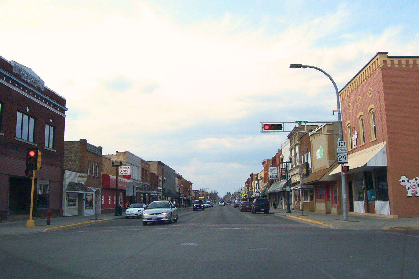
Trail Towns in the Granite Belt
Bike-friendly communities anchored in red granite roads, local hospitality, and easy trail access.
.
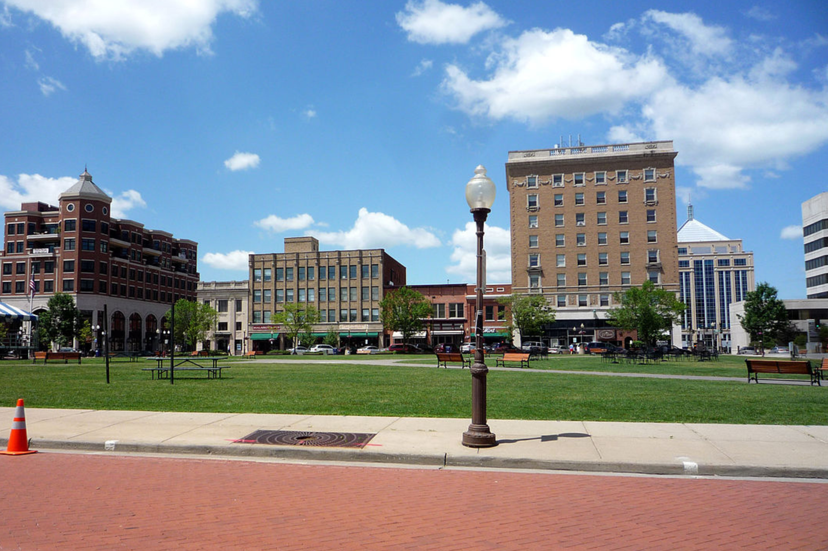
Wausau
The heart of the Granite Belt offering full amenities and direct access to premier red granite routes.
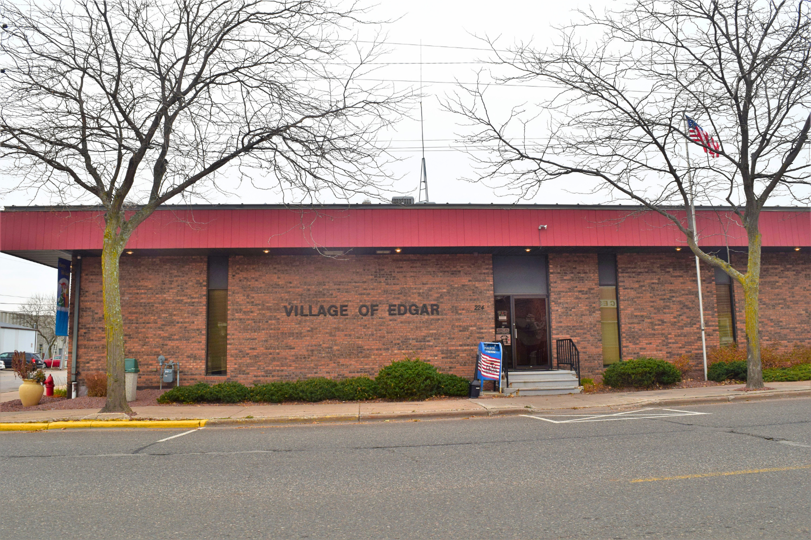
Edgar
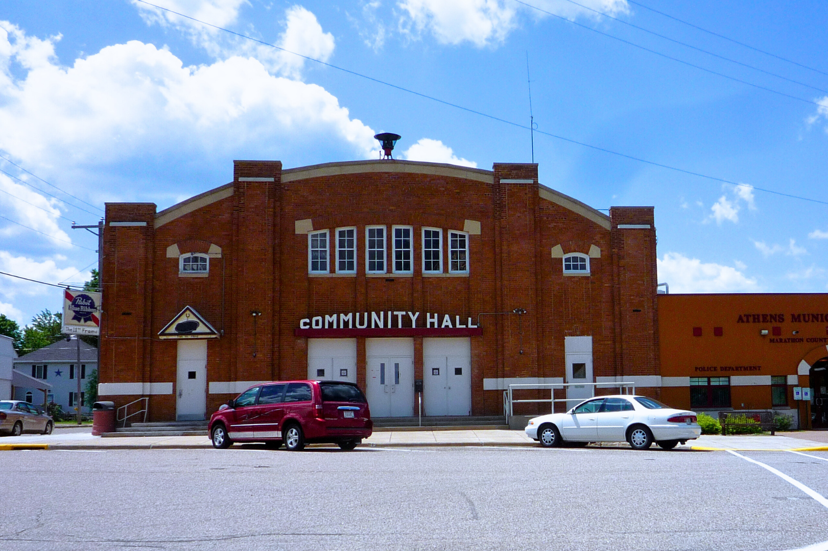
Athens
A welcoming farm town with family-friendly loops and access to iconic granite gravel roads.
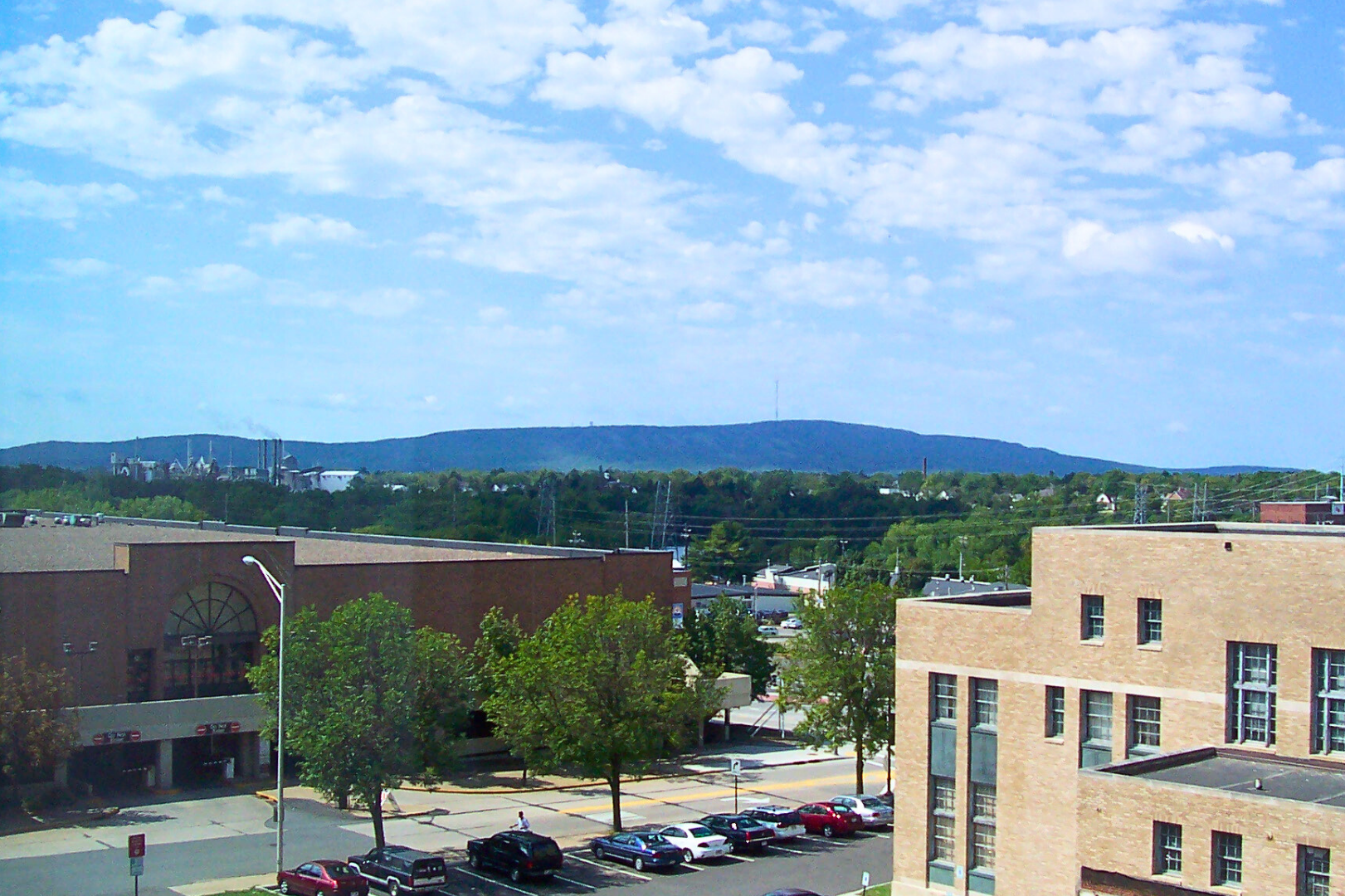
Rib Mountain
A gateway community near forested terrain with rolling routes and granite road access.
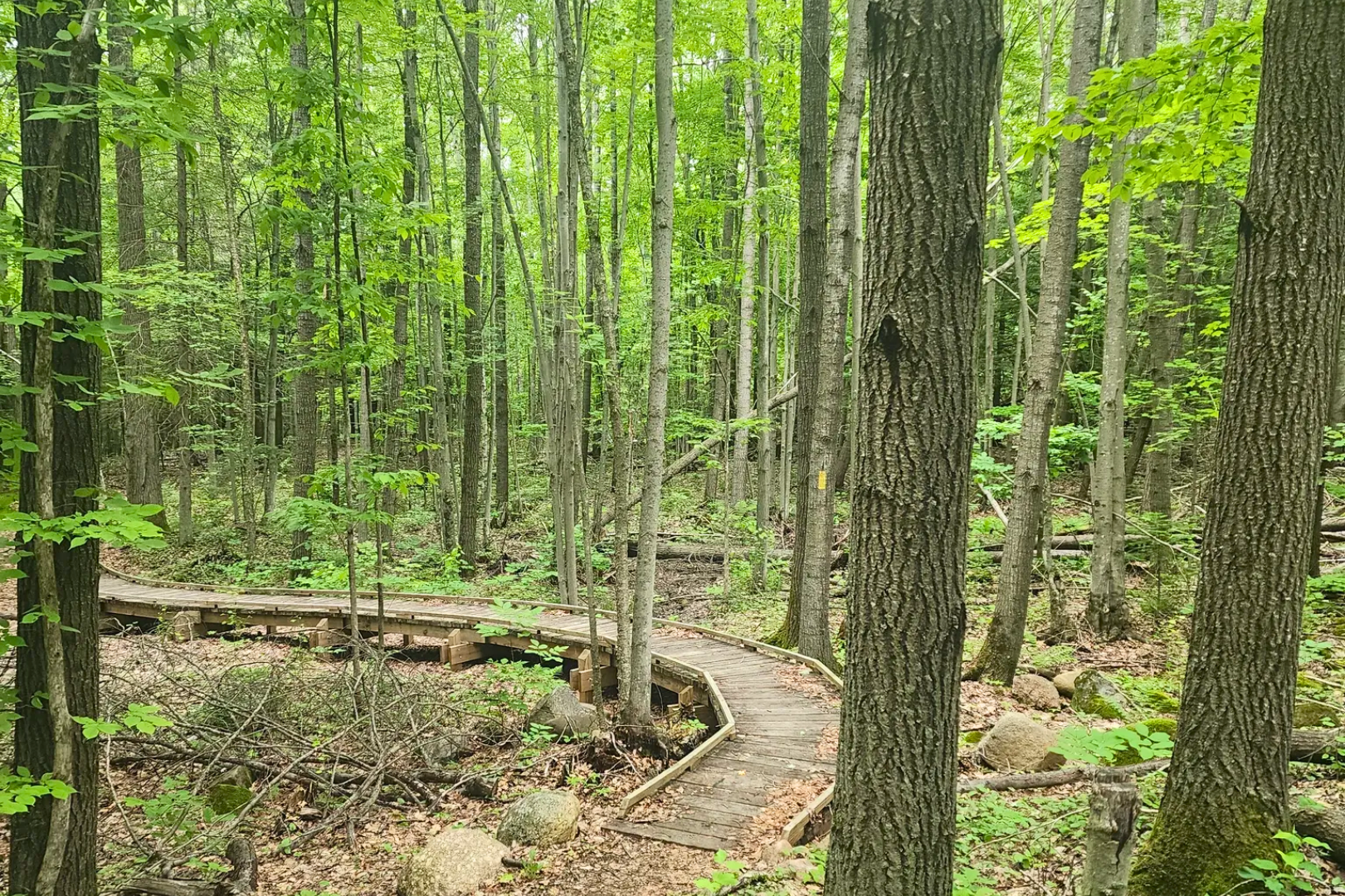
Ringle
A peaceful rural stop offering low-traffic roads through dairy farms and hardwood forests.
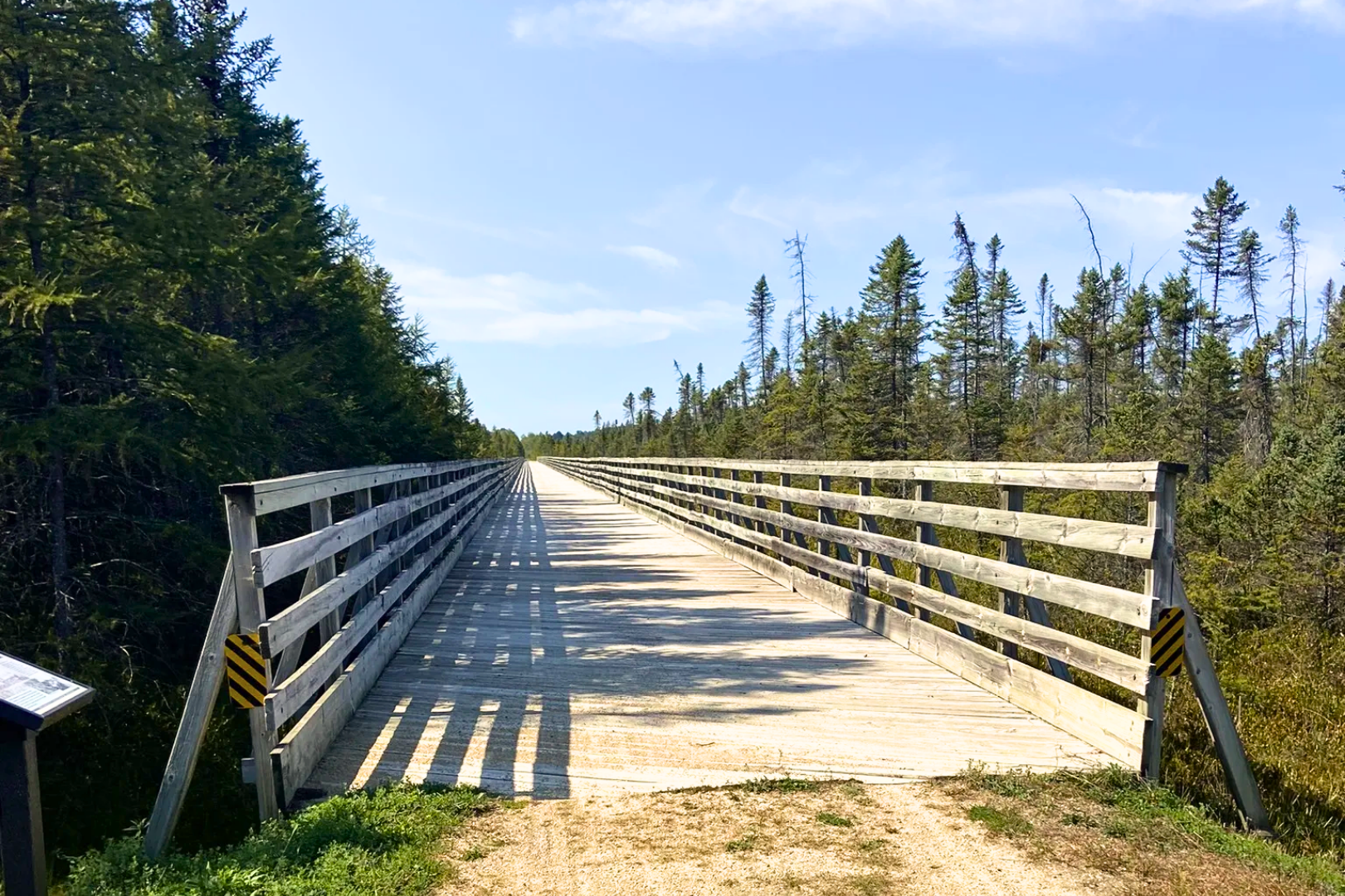
Hatley
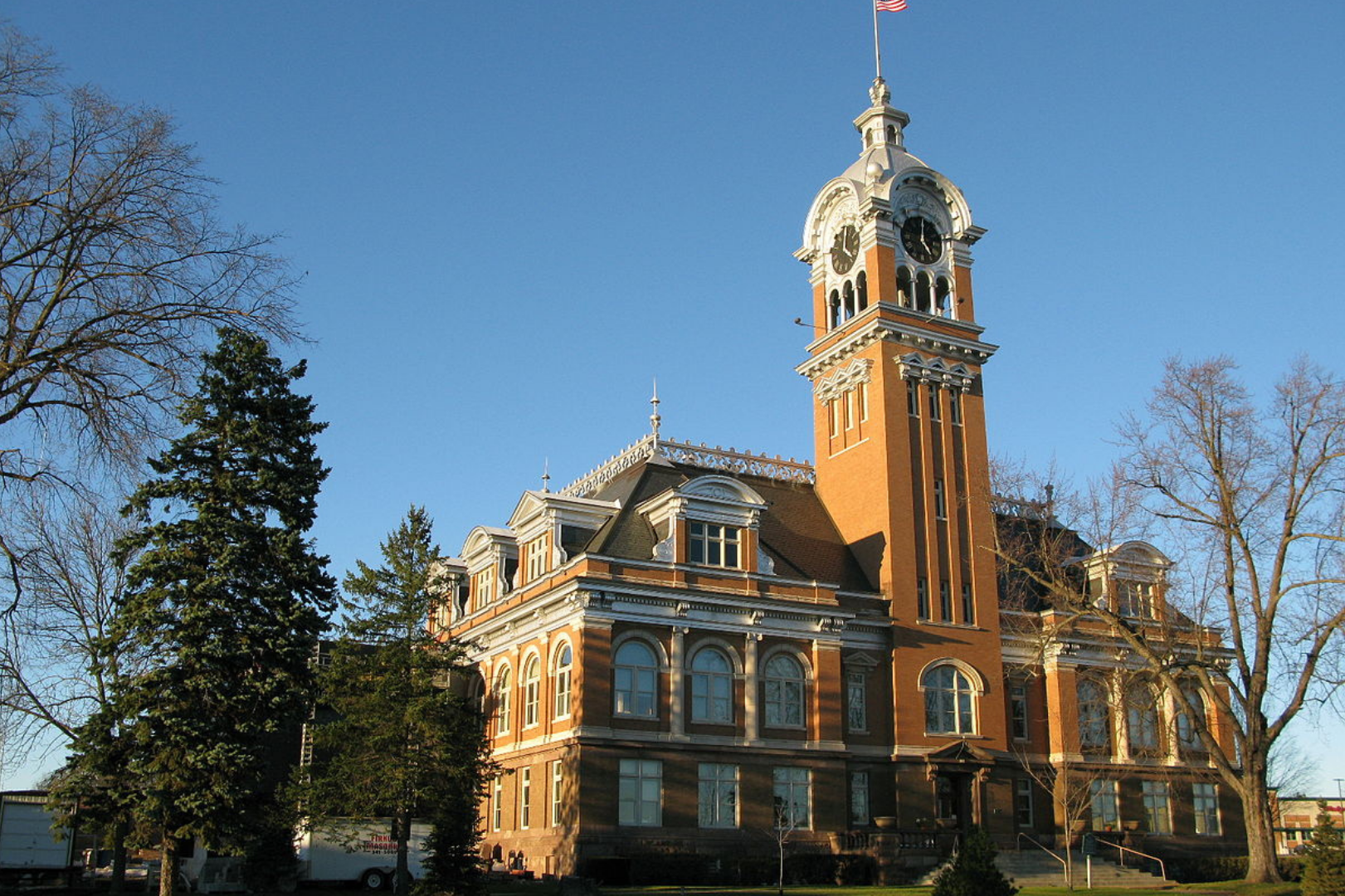
Merrill
A Wisconsin River town providing services and connections to northern Granite Belt routes.
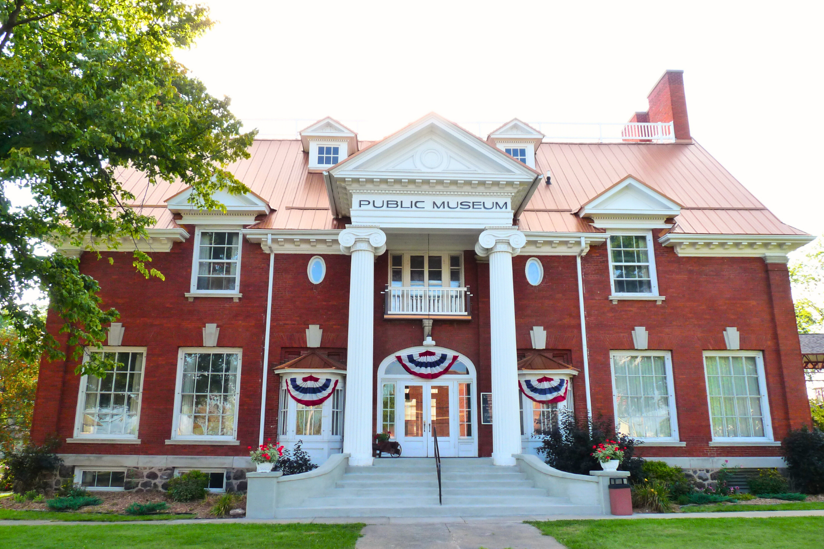
Antigo
Shawano
Ready to Ride?
Wisconsin's gravel trails are waiting and we're here to help you discover the ride of a lifetime.
Find Trail Regions
Browse our regions to discover routes perfect for your skill level.
Plan your visit
Download trail guides, check conditions, and find lodging.
Explore Events
Check out gravel biking events across the state.